
Harnessing the Power of SSLN
As increasing numbers of small satellites go into orbit to image Earth’s surface continually, the ability to exploit that data trove is threatened by the imminent overload of both the low-bandwidth radio frequencies used to transmit images to ground stations and the human ability to perceive and assess subtle trends in image data over time.
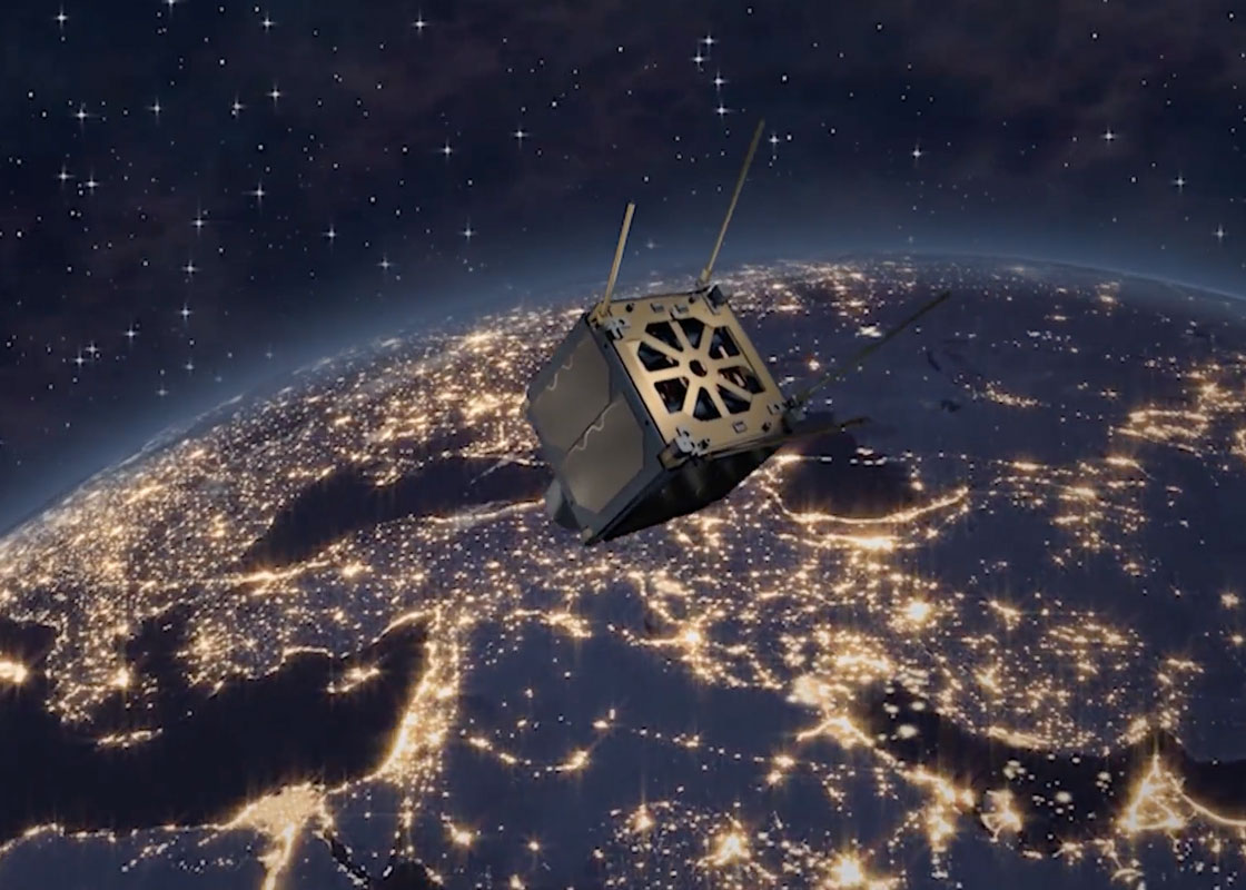
Many small satellites means many more images to collect, transmit and analyze — voluminous amounts of data to handle. Draper is developing new and advanced technologies that will enable thought leaders to exploit imagery as they develop more-effective policy and action plans to address the environmental, economic and social problems of our global community.
Governments, industries and even private citizens can benefit from frequent imaging of the Earth’s changing surface by small satellites, but only if the data can be quickly accessed and understood. Draper is using pattern recognition technology to help boost the value of the vast amounts of data from small satellites. Draper’s cloud-predictive software enables the use of lasers to transmit image data 1000 times faster than today’s radio-frequency downlinks. Once downloaded, Draper’s pattern-recognition analytics detect and track subtle changes within the images, helping decision-makers identify evolving patterns, such as migrations or crop failures.
The surge in data volume resulting from collecting more frequent images at higher resolutions could easily overwhelm the capacity of human analysts. To analyze the growing databases more effectively, Draper developed algorithms that combined machine and human-guided learning. The tools autonomously identify even subtle pattern changes, enable quantification of analysis and speed up the processing of large data sets.

Draper’s solutions empower new uses for small satellite data, be it current images of fast-changing situations in remote locations or long-term trends that affect the globe.
"An important part of Draper’s work in Space is focused here back on Earth. Climate issues are monumental. Our global community has the intellectual capital and capability to turn the tide back toward sustainability." – Kim Slater
By extracting sophisticated information in a timely way from a wealth of imagery, Draper’s technology could benefit commercial applications as diverse as crop selection based on soil moisture content, business site selection, maximizing traffic patterns and more. "You will be able to see whether or not a package arrived on your front steps or if your spouse remembered to take out the trash," jokes Slater. On a more serious note, she continues, "This visual knowledge of life on Earth is helping us understand more about precision agriculture, extreme storm prediction, disaster relief and even endangered animal protection. The exciting discoveries that benefit from this unprecedented data are yet to come."
